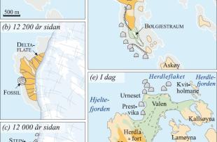
During the Younger Dryas cold period, the fjord-glaciers flowed out into Oster Fjord and Herdle Fjord. Between the northern tip of Askøy and Litla Agnøyna, north of Herdleflaket, there was a piece of earth that stopped up the ice movements. Meltwater deposited sand and gravel by the edge of the glacier. With time, these processes built a delta out into Hjelte Fjord (B on the map). The sea level was higher then than now, and remains from this delta lie at about 32 metres over sea level, as a terrace on each side of the entryway into Herdla fort. Before the glacier deposited its loose deposits, Herdla was just a narrow, little island (a). The original island appears today as the forested ridge just east of the road to the fort.
The glacial sludge (silt and clay) was deposited on the sea floor in front of the delta. Today, we find this clay down by the sea in Djupedalen (by the shooting range). Shells that have been found in the clay have been dated to be roughly 12 5000 years old. Just after this, the glacier advanced again, pressed together the loose deposits and left behind big blocks (c). The blocks now lie in a belt along the west side and over Prestvika to Urneset in the north.
When the glacier melted back in Herdle Fjord, the land began to rise (d), most in the beginning, and afterward, gradually less. About 1000 years ago the rebound of the land ceased. Herdla had at that point gotten rid of 32 metres of sea water. As the land rose, the loose sediment deposits on Herdla were transported further. Those that originally were beaches got lifted up to dry land. Sand, gravel and stone got washed down to the new beaches that after a time also got raised up out of the water. The transfer of storage of beach material has continued right up until today. Other loose sediment deposits remained where they were. We find these today above the present shore level, making up slopes and terraces.
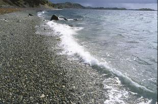
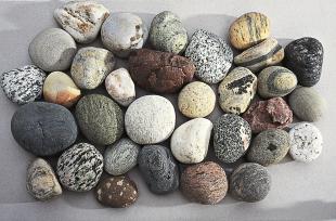
Not only did the loose sediment deposits get transported to steadily lower beach levels, they also got sorted and transported by currents and waves. The biggest waves have always come from the north. Over thousands of years the waves have moved the masses of sediment southwards and built out the island in the same direction. Gravel- and stone-layers that now lie on the slope above Vestrefjæra also came this way - as did the pebbles in Vestrefjæra today. On the slope there is also a thin layer of drift sand (aeolian sand), with an 8000 year-old black layer of soil. Pollen samples from this layer witness to warm-loving forest nearby, comprised of maple, hazel and oak.
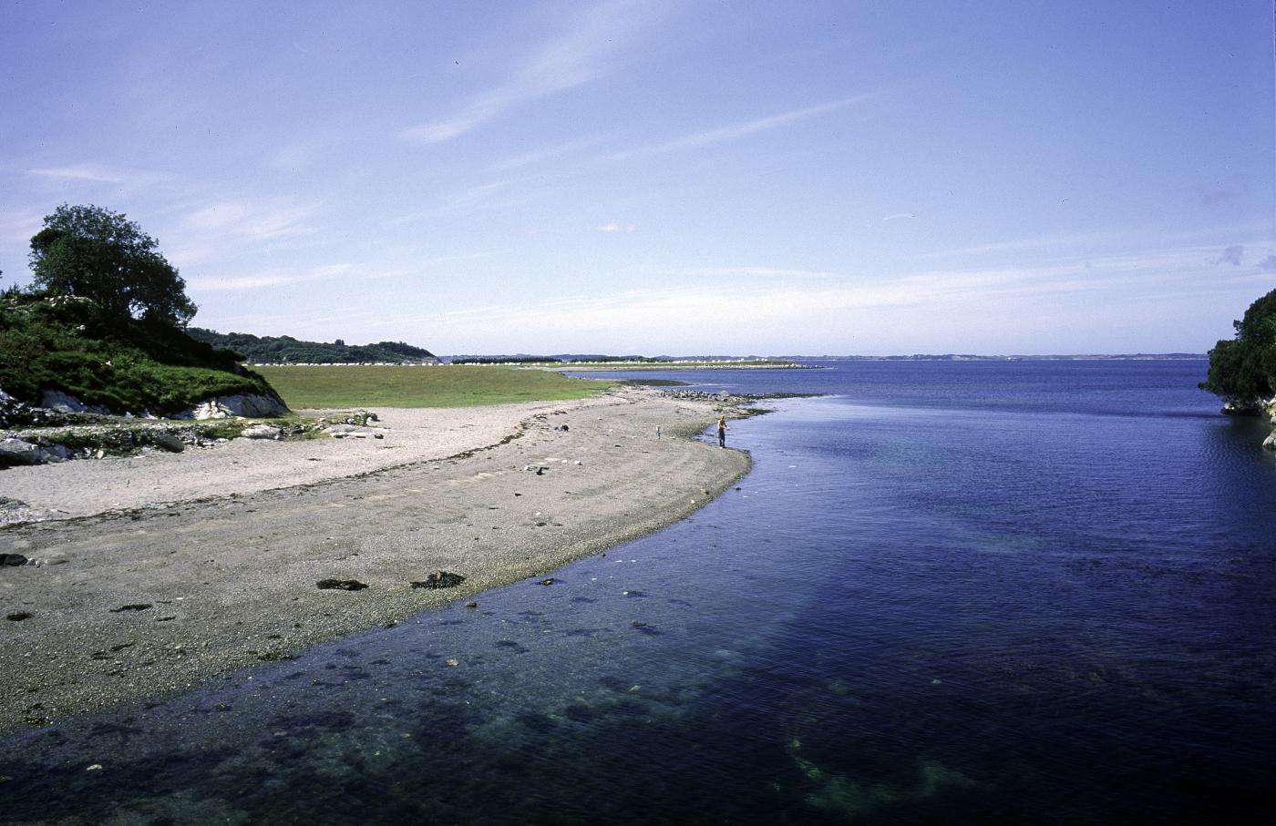
On the northeast side of Herdla, there was a tidal current between Hjelte Fjord and Herdle Fjord that carried out the building work. The materials were sand and gravel, originally deposited in front of the ice. The tidal waters and waves from the northwest transported the masses out toward Kallsøyna. The strong current reorganized the sediments and built the tidal flats broader and longer as the land gradually rose. In this way, the area avoided becoming dry land, but about 2000-3000 years ago the land had risen so much that the current had to give up its work. A wide tidal flat rose up out of the sea, and Valen was created


