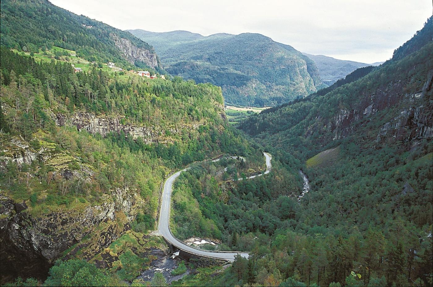
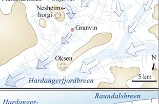
When this slower glacier came to where Bømoen now lies, the surface had less of a slope down toward Voss than toward Skjervet and Granvin, where the ice carving went much faster. Both the glacier and the meltwater under the ice therefore flowed in the direction of Granvin. The meltwater ran uphill, since the mountainside lay higher by the water divide between Voss and Granvin than by Bømoen. The water got pressed up from 100 m a.s.l. to 250 m a.s.l. before it then fell freely down to Granvin Fjord. It was the pressure from the ice that made it possible for the water to flow the "wrong" way, the same effect that makes the tap-water high up in a house able to run from a tap in the cellar.
This uphill river has left behind much evidence of its work. At Møn there is a canyon with pot holes that the meltwater under the ice created. Another testimony is the large pot holes east of Flatlandsmo camping, where only a small stream flows today. And if these traces aren't enough, the uphill river has also transported stones of anorthosite which must have come from Mjølfjell, and is now found in the gravel terraces near Filipshaugen at Mala. These stones have rolled around on the river bottom 150 metres uphill before eventually falling to rest.
Much further back in time, in earlier ice ages, Hardangerfjord glacier carved so deep and relentlessly that it stole water from the Voss water system without having to resort to uphill rivers. Before the ice ages, the catchment area of the Vosso reached all the way to Vassfjøro and Lake Solsævatnet in Ulvik. The rivers then ran through older, slightly higher-lying «Espelandsdalen» valley toward Voss. Several valley terraces, the upper one at Kolskår and the lower one by Jørdre, mark the height of the two sets of old valley floors. These, together with Skaftedalen valley, slanted toward Voss before the ice ages.
During the ice ages, Hardangerfjord was carved further and deeper, with side fjords like Granvinsfjorden, and Osafjorden with Ulvikapollen, and lesions were cut into the land, like Lake Gransvinvatnet and the valley carved further into the valley ending at Skjervet. This excavation work changed the fate of the former river valleys. Some valleys were joined, the water found a shorter distance to the sea and in so doing changed direction from the Vosso to the Granvin water system. This river theft in Granvin was nonetheless less extensive than the river theft that occurred at Stalheim.


