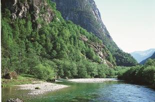
Frå Jordalsgjelet. (Svein Nord)

Jordalsgjelet

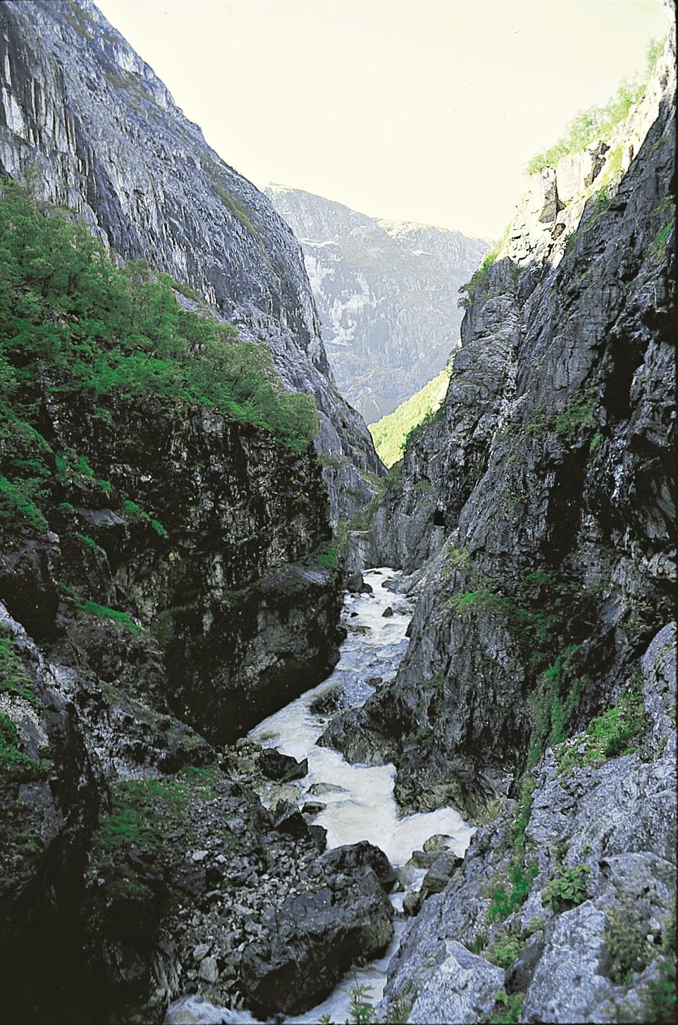
Jordalsgjelet. (Svein Nord)

Jordalen

THE BIG RIVER THEFT

During the last ice ages, parts of the Voss river system were stolen and sent down Nærøydalen valley to Nærøy Fjord (Nærøyfjorden). Before this big river theft all of the rivers ran all the way from their sources in the mountains near the innermost part of the Sognefjord further southwards towards Voss. Evidence of the theft is still clearly visible in the terrain.

The rivers in Brekkedalen and Jordalen valleys give reason for suspicion: First, they run straight southward toward Voss, the apparent travel destination in the distance, but then the water turns sharply towards the north-east as it meets Nærøydalen valley. Valley shelves on both sides of Nærøydalen also show the remains of an old river valley that went toward Voss.

Just how did this theft occur? Also here, it is the glaciers that give the explanation: The glaciers were more effective along the old "Sognaelva river" than in the valleys that went toward Voss. After many ice ages, the carving resulted in an extension of Sognefjord, not only toward the east, but also into the side fjords. The glacier carved away in what is now Nærøy Fjord and Nærøy valley, so that the water that ran toward Voss was absorbed, or stolen. The valleys that originally went southwards toward Voss became hanging valleys of Nærøy valley, and the water found an easier path toward the north-east. The "water thief" reached almost all the way in to Oppheimsvatnet Lake, but not further. The end of the valley by Stalheimsfossen waterfall is like a dramatic stairway in the landscape. The steps mark the transition from the inner part of Nærøydalen, where the ice carved deep and relentlessly, to the more open valley above the falls, where the glacier accomplished little in comparison. When the rivers once ran toward Voss, they created a natural pattern, like a tree with branches, as most water systems do. After they were absorbed by Sognefjord and Nærøy Fjord the valleys created a barbed pattern, "agnor", and therefore they are now called "agnor" - or barbed - valleys.
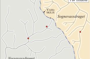
Retninga til elvane i Nærøydalområdet før elvetjuveriet og i dag, etter elvetjuveriet. (Eyvind Sindre/Inge Aarseth/Eva Bjørseth)

Like ved grensa mellom Hordaland og Sogn og Fjordane, ved foten av Stalheimskleiva, står eit vegskilt som viser at det er 3 kilometer til Jordalen. På utsida av tunnellen som opna i 2016 ligg det imponerande Jordalsgjelet, og etter å ha passert gjennom tunnellen kjem ein til den vakre Jordalen, som opnar seg mot fjellheimen.


Jordalselvi har eit fall på over 300 meter på den knapt 2 kilometer lange strekninga gjennom gjelet. Det gir solid energi til å grava. Stadig rasar stein ned i elva frå dei bratte fjellsidene, og denne steinen vart nytta som arbeidsreiskap til å slipa og skura elvebotnen. Eit så djupt gjel treng lang tid på å formast. Elva er enno ikkje ferdig med arbeidet sitt. Det er dette gjelet som er kalla «Helvete» i Per Sivles forteljing «Berre ein hund».


Over gjelet tronar Jordalsnuten som ein sukkertopp. Fjellet inneheldt anortositt som størkna til fjell djupt nede i jordskorpa i jorda si urtid. Etter kvart som fjellkjeda vart erodert og nedhøvla, og anortositten til slutt kom opp i dagen, minka trykket i fjellet. Mindre trykk førte til at det vart danna utvidingssprekkar i anortositten. Sprekkane utvikla seg parallelt med overflata, om lag som på ein løk. Same type sprekkar har forma den kjende «Sukkertoppen» ved Rio de Janeiro. Men i Nærøydalen har frostsprenging skrelt av desse «løklaga». Dermed vart Jordalsnuten til Hordalands «sukkertopp», rett nok i hopehav med nabofylket i nord.

Documents

See also

Places in muncipality