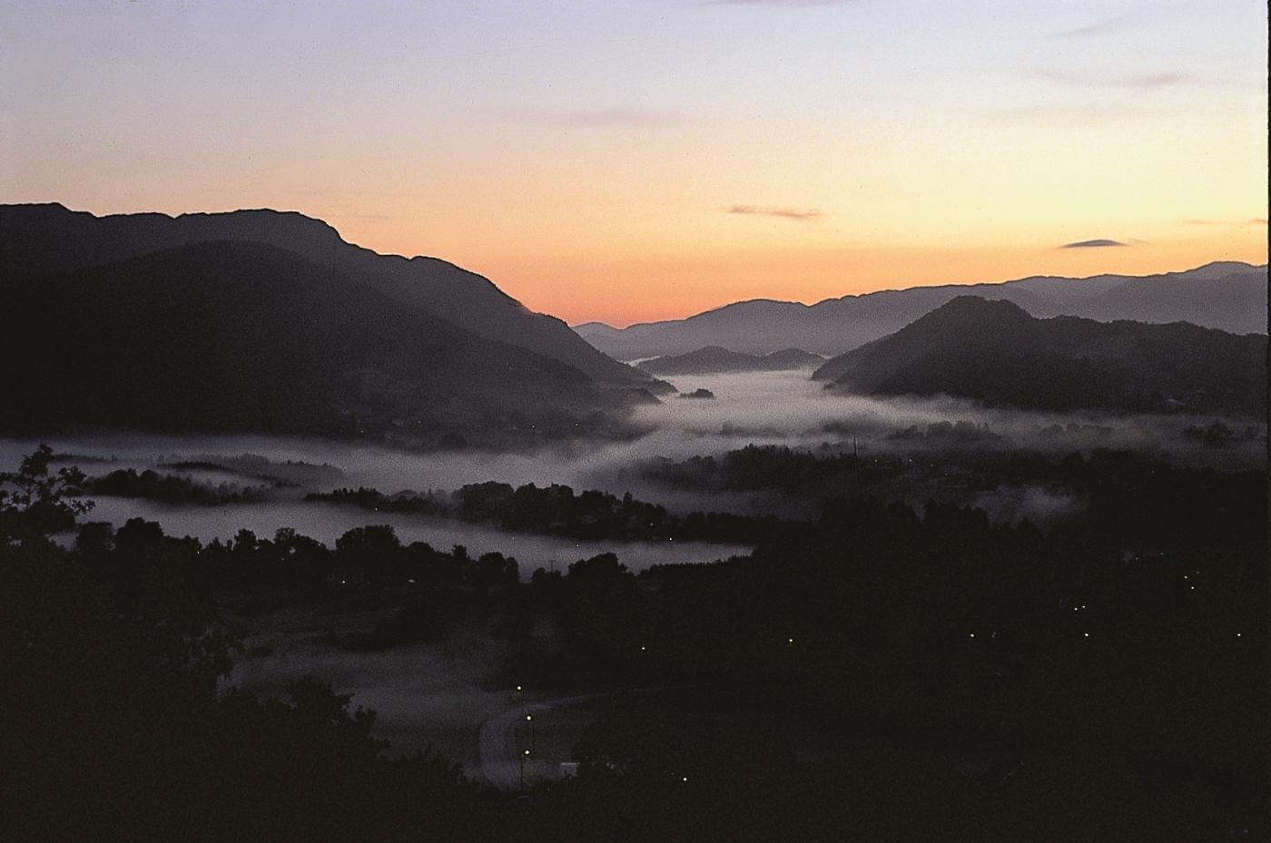
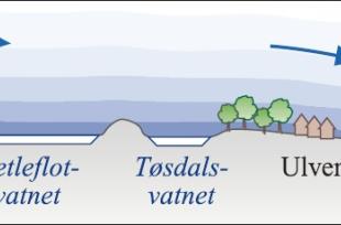
On cloudless, windless nights in winter, when the lake surface is frozen, it can be exceptionally cold. The heavy, cold air that slowly descends toward the ground gets trapped between the higher areas, buildings and forest. Over the low-lying area along the stretch from Søfteland to Ulven and Tøsdal a "sea of cold air" is formed - an inversion - with the lowest temperatures near the ground, and increasing upwards (see frame). In severe cold spells the temperatures near the ground fall to under –25 °C in the biggest depressions.
Higher up in the air layer, at perhaps 100 m above the surface, a current of air moves slowly toward Osøyro and Bjørnefjorden. Its speed increases toward the fjord. Turbulence in the air masses and warmth from traffic and houses weaken the inversion in the more built up areas at Osøyro, so that the temperature here is seldom lower than about -12 °C. Since there is a little wind at Øyro the cold can still feel as biting as in the stiller, gentler colder air at Søfteland.
This pattern of local minimum temperatures occurs on cold, still nights in all seasons, though in the short summer nights the contrasts are not as noticeable. On fine summer days, however, the cold depressions at Søfteland tend to be several degrees warmer than at the beach areas in Os.
Unusually low temperatures can occur other places in Hordaland when conditions are right, too, but the phenomenon is best documented at Søfteland.

