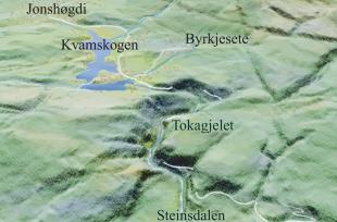
Before the ice ages, the valley from Jonshøgdi and eastwards toward the start of Tokagjelet was a side-valley to "Hardanger Valley". During this epoch, the river flowed gently through a sloping and rounded landscape until it ended in the larger "Hardanger River", roughly where Aksnes lies today, but much higher in the terrain. "Hardanger River" did not reach the sea until it was some place south of Bømlo.
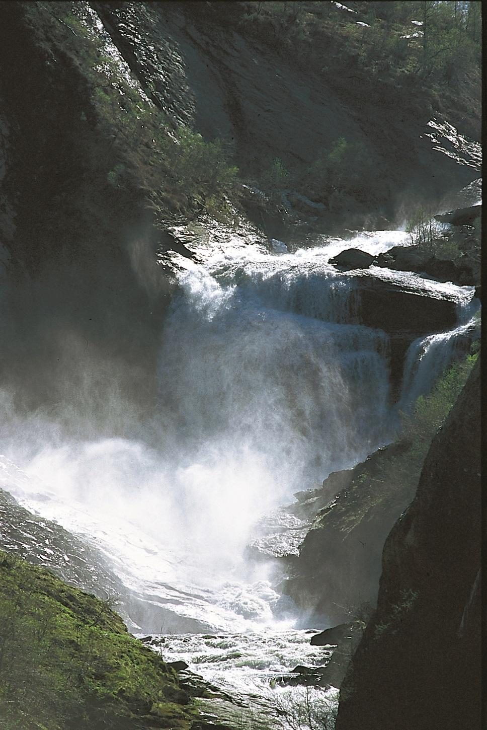
When the ice age set in, the glaciers took over the carving work from the rivers. With great power, the ice quickly carved further into the valley that had been created by the "Hardanger River”. Hardangerfjord and the smaller side-fjords were eventually carved out; this work was carried out from the coast inward over land. After several ice ages, the fjord reached in to Kvam during a time when the ice was absent. During these periods the river from Kvamskogen was very active. It was a short distance and a big fall down to Steinsdalen, which then was an arm of the fjord. The carving by the river was fast and effective, and Tokagjelet was created.
The work is not finished yet: the river is still carving away at the bottom of the canyon. This has created the steep valley sides and a lot of rock slides from the slopes - the road has even been ruined by rock slides occasionally. The stones that collect in the bottom of the canyon become tools for the continued carving. The transport of coarse material occurs in periods of flooding – "the hundred year flood" is of course more effective than the common floods. The largest stones stay in place until they break up into smaller stones, which the river can transport.
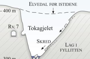
The canyon zig-zags. This is because the river finds it easiest to carve along the weaker zones in the bedrock. These run either along boundaries between rock layers in the phyllite (northeast- southwest) or along fractures that run perpendicularly to the layering (southeast-northwest). When the river carves along the layering, a V-shaped valley is formed (drawing to the right), with the northwest side as the steepest side. Tok in the name Tokagjelet refers to the Norwegian word «tak», which means "roof", and refers to the steep mountain walls and overhangs. The gentler slope follows the layering in the bedrock. It is easiest to study the conditions in Tokagjelet from the old road on the outside of the lowermost tunnel (Snauhaugtunnelen).
Uppermost in the canyon we can see the remains of the old valley bottom from before the ice ages; it continues eastward. It is clear that the canyon is a "valley within a valley". The remains of the old river valley are also visible as valley ledges in Steinsdalen valley, as at Rosseland above the Steinsdalsfossen waterfall.


