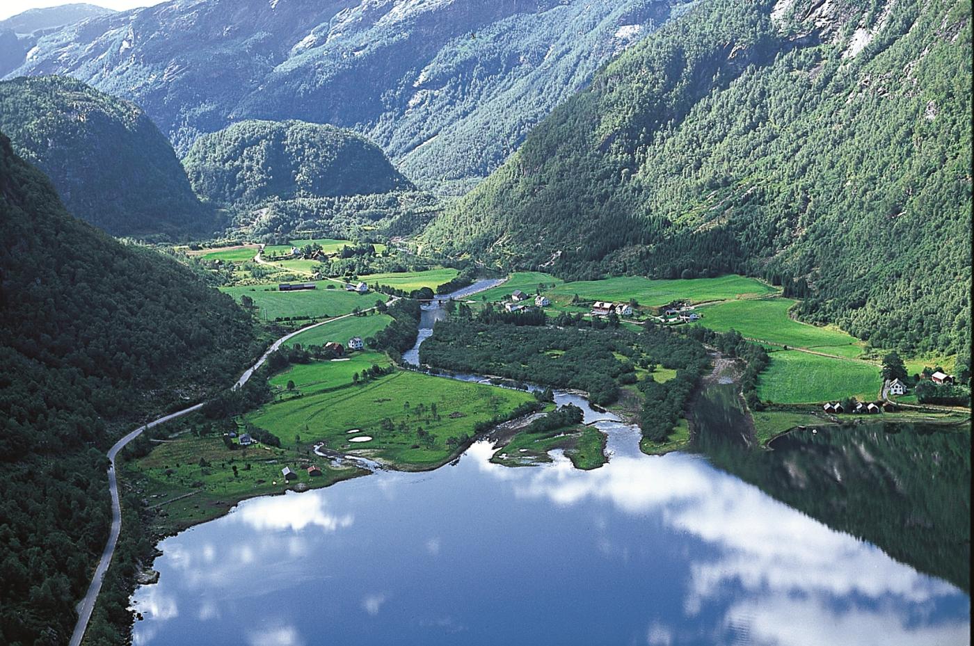
This natural archive lies only a short distance from the European Highway, down the old road through Haugsdalen valley. The river delta is influenced by agriculture and the water levels by the power station, but there are few constructions to lead the river water away, as is known to occur other places. The water prevails, and the river decides itself where it wants to run out into Haugsdalsvågen Bay.
Haugsdalsvågen Bay is naturally shallow, and therefore the water becomes relatively warm on sunny days. Where the river water flows out, the fresh water flows on top of the brackish fjord water. When the tide comes in, the brackish water flows inwards, reaching a good ways up into the river. Such transition zones are usually highly biologically productive.
There are almost always gulls in this area. Haugsdalselva River and the nutrient-rich delta also have a good population of Common Sandpiper. In nesting season we can see Lapwing, Oystercatcher and Red Shank. Also flocks of Mallards collect on the delta outside of the hectic nesting period. A few pairs of Red-breasted Merganser are nearly always to be seen, probably because they feed on the stickleback. But most of all, the Haugsdalselva River is known for its sea trout fishing. The river is among the very best sea trout fishing rivers in the county. The most popular fishing site for sea trout is nonetheless in the bay outside. The sea trout has, in contrast to the salmon, so far done just fine in this river, despite the regulation of water levels and the acidity.
Today's river delta is the last in a long chain of deltas in this area. Several flat terraces in the lower part of the valley are the remains of older river deltas. Through thousands of years, the river has transported sediments down through Haugsdalen, and these deposits ended up as deltas in the fjord. As the land gradually rose after the Ice Age, the old deltas were left high and dry. In the next round, the river cut down through the dry surfaces and took along some of the deposits, to steadily lower-lying deltas out through the bay. In the middle of the river mouth, a sand bank was deposited with a river channel on each side, as we see at Storholmen today.

