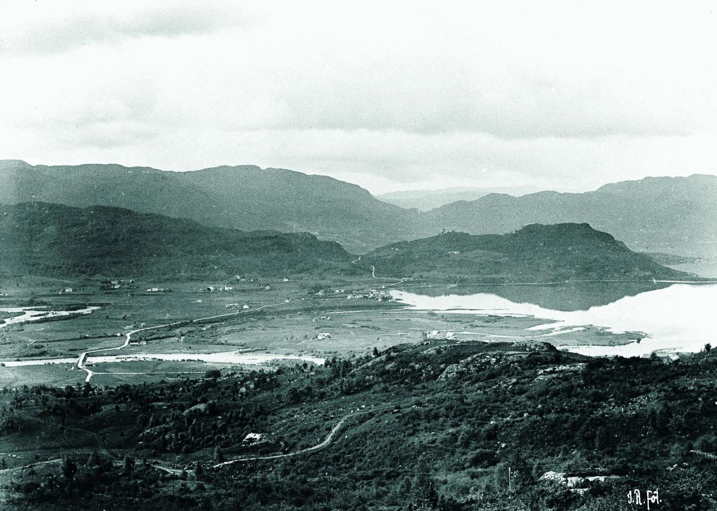
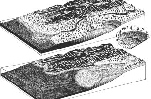
Where bigger rivers meet the sea and form sand banks, there is always a high level of biological activity. The rivers are a constant source of rich nutrients and sediments. By the river mouth there are usually many different forms of life waiting to exploit this runoff. Animals and plants that thrive here are adapted for an environment in which the salinity, temperature, tidal waters and currents in the river are constantly changing.
This zone of outflow, which is also called an estuary, Characteristically introduces great challenges both with respect to the seasons and the changing tides. The whole time there are life forms that die off because they cannot keep up with the fluctuating conditions. These organisms then become nourishment for others. Nature responds by increasing production, such that the number of smaller fish, mussels and other small crustaceans can become exceptionally large. This in turn leads to a high diversity of animal species, and most estuaries also have an unusually rich bird life.
But, the delta sands, which are both flat and nutrient-rich, are well suited also for agriculture. This is how it came to be that the first strips of field were cultivated. Later, these were the preferred areas for settlement. With settlement, followed flood-control and obstructions in the river, mass removal, and often, changes in the usage aimed at meeting the goals of business and industry, since construction costs invariably were low in such areas.
This is how the land was developed in Bolstadøyri, where the Vosso runs out. And this is how things developed also in Eidfjord, Odda and Eikelandsosen, and similarly, on the delta flats in Sogn and Fjordane. The delta in the Etneelva river met with the same fate. But, parts of the sand flat here are still biologically quite rich. On the north side of Etne river mouth, there is a little, undisturbed area that is an important rest stop for wading birds under migration, and for the over-wintering ducks, kittiwakes and grey herons, who all find food in the ice-free river mouth.


